 Approved
Dr Super Good
Spell Reviewer
- Joined
- Jan 18, 2005
- Messages
- 27,285


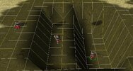
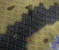
Something occurred to me. Due to water mesh interpolating height with neighbouring nodes it might be required to leave the water height of nodes that neighbour enabled water nodes unchanged, at least in a 1 x and y orientation. Otherwise one might end up with a water cliff. at the edges of water fields (areas of enabled water nodes) where the height suddenly drops to 0. In a well made map this should be under the ground mesh, but in less well made maps or border conditions it could possibly be visible.
At least that is the theory, maybe it never happens in practice.
At least that is the theory, maybe it never happens in practice.